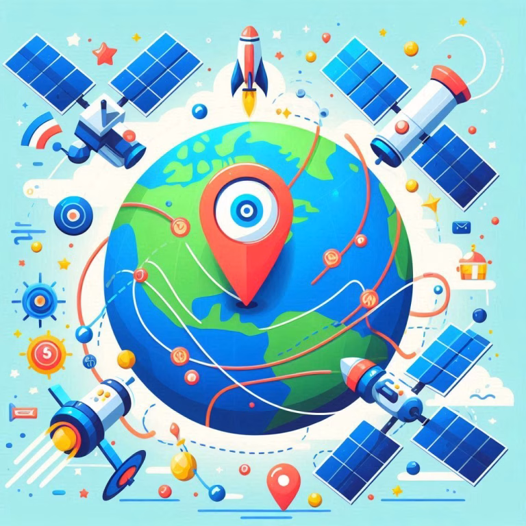
When was the last time you got stuck in traffic, pulled out your phone and checked Google Maps to find a better route? Chances are, this app has already saved you hours, whether by showing you the fastest way home or letting you know in advance where the red zones of traffic are. But have you ever wondered how Google knows about traffic conditions or how it predicts your estimated time of arrival (ETA) so precisely?
As a tech enthusiast, I’m fascinated by the science behind the tools we use every day without thinking about it. So, let’s dive deep into the magic of Google Maps and its advanced features, from traffic prediction algorithms to the amazing capabilities of Google Earth. And more provocatively, we’ll ask: what’s next for these technologies?
How Does Google Maps Know There’s Traffic?
Google Maps uses data from millions of phones connected to the internet. Each smartphone shares details about its location, speed, and movement patterns. When lots of phones are in a small area and moving slowly, Google sees this as congestion and marks the road red. Moderate traffic is shown in orange, and smooth-flowing streets are shown in blue.
But it doesn’t stop there. Google combines this real-time data with historical traffic patterns, so it can predict traffic better. For example, if 5th Avenue in New York usually has cars moving at 25 km/h at 9:00 AM but 35 km/h at 11:00 PM, Google uses this knowledge to refine its predictions. This blend of real-time information and historical models ensures more accurate results.
In cities like Berlin, Tokyo and Sydney, Google has taken traffic prediction to the next level by Graph Networks, which can analyse dynamic patterns like sudden accidents or weather conditions, predicting traffic even before it happens.
The Power of Artificial Intelligence in Google Maps
Machine learning algorithms have totally changed the way we navigate.One of the most advanced systems used by Google is designed to predict future roadblocks. So, for example, if you’re planning a trip, the system can already account for a parade that’s scheduled in your city later in the day. That’s the power of AI in mapping technology.
Google’s eco-friendly routing feature suggests paths that consume less fuel, saving drivers money and reducing carbon emissions. The potential impact? Google estimates that if everyone used this feature, we could reduce global emissions by up to one million tons a year – that’s the same as taking 200,000 cars off the roads.
Google Earth: Beyond Maps
While Google Maps helps us get from A to B, Google Earth takes us around the world—virtually. This tool uses aerial and satellite imagery to create a 3D model of the planet. It’s not just a navigation app; it’s a way to explore Earth’s beauty and complexity.
For instance, did you know you can track how landscapes have changed over decades? Using 24 million satellite imagestaken over the last 37 years, the Google Earth Timelapse feature reveals how cities grow, forests shrink, and glaciers melt. It’s an eye-opening way to see the impact of human activity on the planet.
Another exciting feature is Google Earth Studio, a tool that allows users to create animations of specific locations. Want to simulate a drone flying over Rome at sunrise? You can do it. This technology is widely used by researchers, filmmakers, and journalists to tell stories with a geospatial perspective.
The Human Effort Behind Street View
Street View is another amazing thing Google Maps can do – it lets you virtually walk through almost any city or even remote trails. But it’s not magic! Over the past 12 years, Google’s cars and trekkers have collected over 170 billion images across 220 countries.
The iconic Google cars, with their nine high-resolution cameras, are capturing street scenes all over the world.
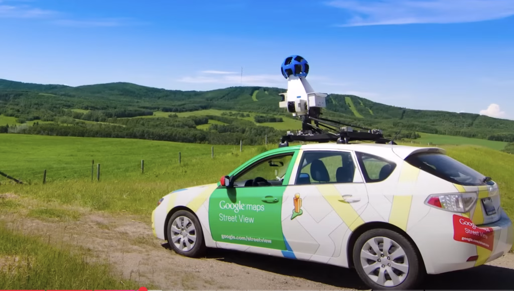
And for those tricky spots where cars just can’t go, like remote hiking trails or ancient ruins, they use the Trekker backpack. This bad boy’s got 15 lenses, capturing panoramic images in the most out-of-reach locations. Just to give you an idea, to map the Grand Canyon, they sent a team of 10 people with Trekkers for three days. And the result? Stunning views of one of the world’s most famous landmarks.
A Glimpse at Upcoming Features of Google Maps
The evolution of mapping technology doesn’t stop here. Here’s what’s next:
- AR Navigation:
Augmented reality overlays directions directly onto your smartphone’s camera view. For example, arrows appear on the sidewalk, guiding you turn by turn, making it easier to navigate unfamiliar areas. - Sustainable Travel Options:
Google plans to expand eco-friendly routing features, enabling users to select routes that minimize their carbon footprint further. - Integrated Smart City Features:
Future updates may include integration with smart city infrastructures, like real-time parking availability, public transportation tracking, and even pollution monitoring. - AI-Driven Personalization:
Your map will adapt to your habits. For instance, if you regularly visit certain locations, your suggestions will become more tailored, accounting for your preferences and usual travel times.
With these advancements, mapping technology is no longer just a utility; it’s a tool that integrates deeply with our lives, offering convenience, sustainability, and innovation. It’s exciting to imagine where these systems will take us in the next decade.


훌륭해요 축구 경기 라이브 그보다 강력 추천합니다 쵝오
공짜시청